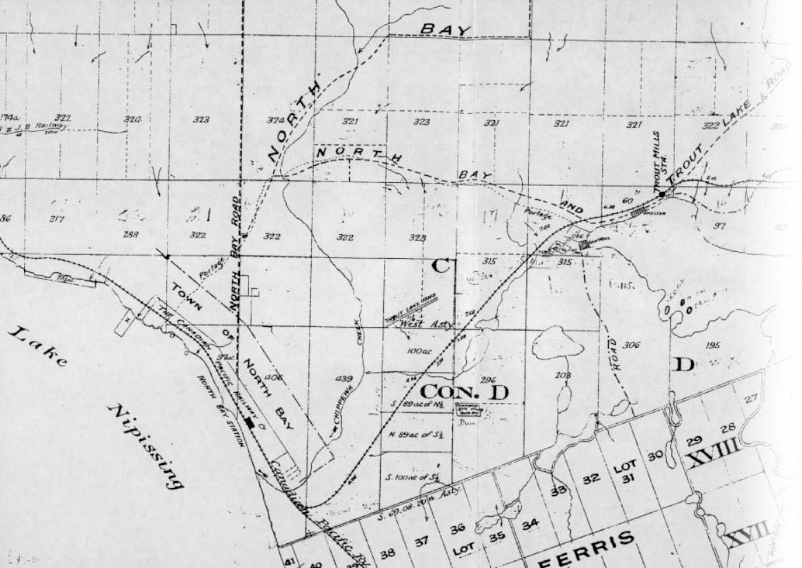
Figure 2: A map from the early 1900s showing the High Land Portage route and North Bay and Trout Lake Road (Part of which later became Ski Club Road). Source: North Bay Land Registry Office.
|
Chapter Three: The Height Of The Land
If you look out from the top of Jack Pine Hill today, you can see Trout Lake on your left and Lake Nipissing on your right. The “height of land” that Henry refers to runs between these two water bodies, and includes Jack Pine Hill. The “height of land” is a watershed divide that causes Trout Lake to flow “north-eastward, into the Outaouais,” or Ottawa River, and Lake Nipissing to flow “in a contrary direction, toward Lake Huron.” (Kooistra, A History of the North Bay Ski Hill page 8)
|